 Fränkische Schweiz
Püttlachtal: Pottenstein to Tüchersfeld
Pottenstein, parking near the Schöngrundsee
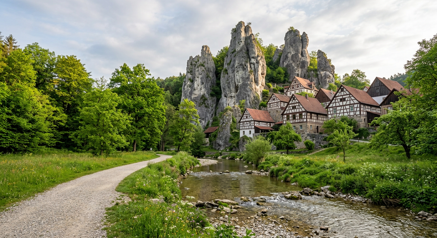
A valley walk along the Püttlach stream to the rock village of Tüchersfeld, with an optional climb back over the ridge. Water almost the whole way.
- Distance
- 10 km
- Elevation
- +230 m
- Time
- 3–3.5 h
The route
Pottenstein → Püttlach valley path → Tüchersfeld → ridge path back
Gravel valley path, some roots and steps on the ridge
Difficulty 2 of 3: Easy valley, moderate ridge
- Tüchersfeld rock village
- Streamside path
- Pottenstein castle
Notes for the dogs
- Valley floor is flat and shaded – great for older dogs.
- Some ridge sections have steep steps; return the same way if needed.
- Show caves nearby (e.g. Teufelshöhle) usually don’t admit dogs.
Water
Püttlach stream runs beside the path for most of the valley.
Rest stops
Cafés and Gasthöfe in Tüchersfeld and Pottenstein, many with water bowls.
Trailhead area
Loading map…
Best for: Water-loving dogs and a relaxed day